Inundation due to the tide in the context of sea level rise and the role of Can-Gio forest in the reduction of inundation
- Trường Đại học Bách khoa, ĐHQG-HCM
Abstract
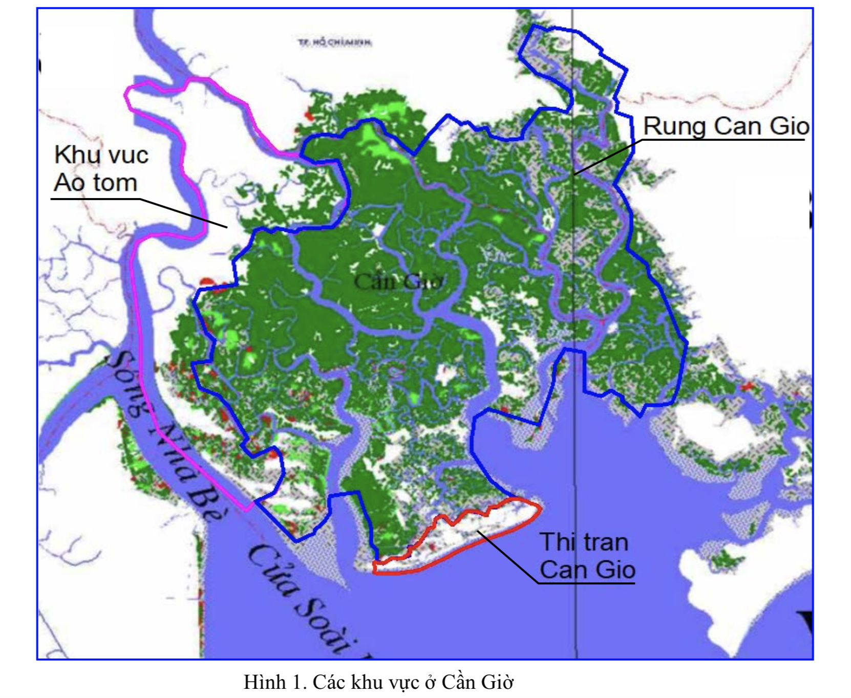
Lower basin of Sai Gon – Dong Nai river is lowland. It’s inundated at high tide. Using mathematical model method with the integrated 1D2D model, the inundation hazard due to the high tide in this region has been evaluated through the inundated area. The calculation results also showed that in the case when the damping ability of Can Gio forest is disabled high water level at Nha Be and Phu An can be increased about 2 – 3 cm and the effect will be stronger in the future following the sea level rise. In the case the Can Gio forest is diked to create a reservoir with reasonable in- and outflow directions, the high water level at Nha Be and Phu An can be decreased about 10 - 11 cm and the effect will be stronger in the future following the sea level rise. This water level decrease effect almost compensates the water level increase due to the sea level rise and keeps the maximum water level at Phu An not exceed actual one until 2050 regardless the sea level rise.

